 Geobru catalogue
Green Network
Type of resources
Available actions
Topics
INSPIRE themes
Keywords
Contact for the resource
Provided by
Years
Formats
Representation types
Update frequencies
Service types
Scale
-
Brussels-Capital Region : Prioritary zone for city greening and the development of public green spaces. Part of the liveframe map of the regional development plan (RDP) and the regional plan for sustainable development (RPSD)
-
Brussels-Capital Region : Prioritary zone for city greening and the development of public green spaces. Part of the liveframe map of the regional development plan (RDP) and the regional plan for sustainable development (RPSD)
-
Brussels-Capital Region : Prioritary zone for city greening and the development of public green spaces. Part of the liveframe map of the regional development plan (RDP) and the regional plan for sustainable development (RPSD)
-
Brussels-Capital Region: Route of the Greenway, correponding to a walk/ride of more than 60 km allowing pedestrians or cyclists to go around the Region and cross many parcs and protected greenzones. This route is composed of 7 sections.
-
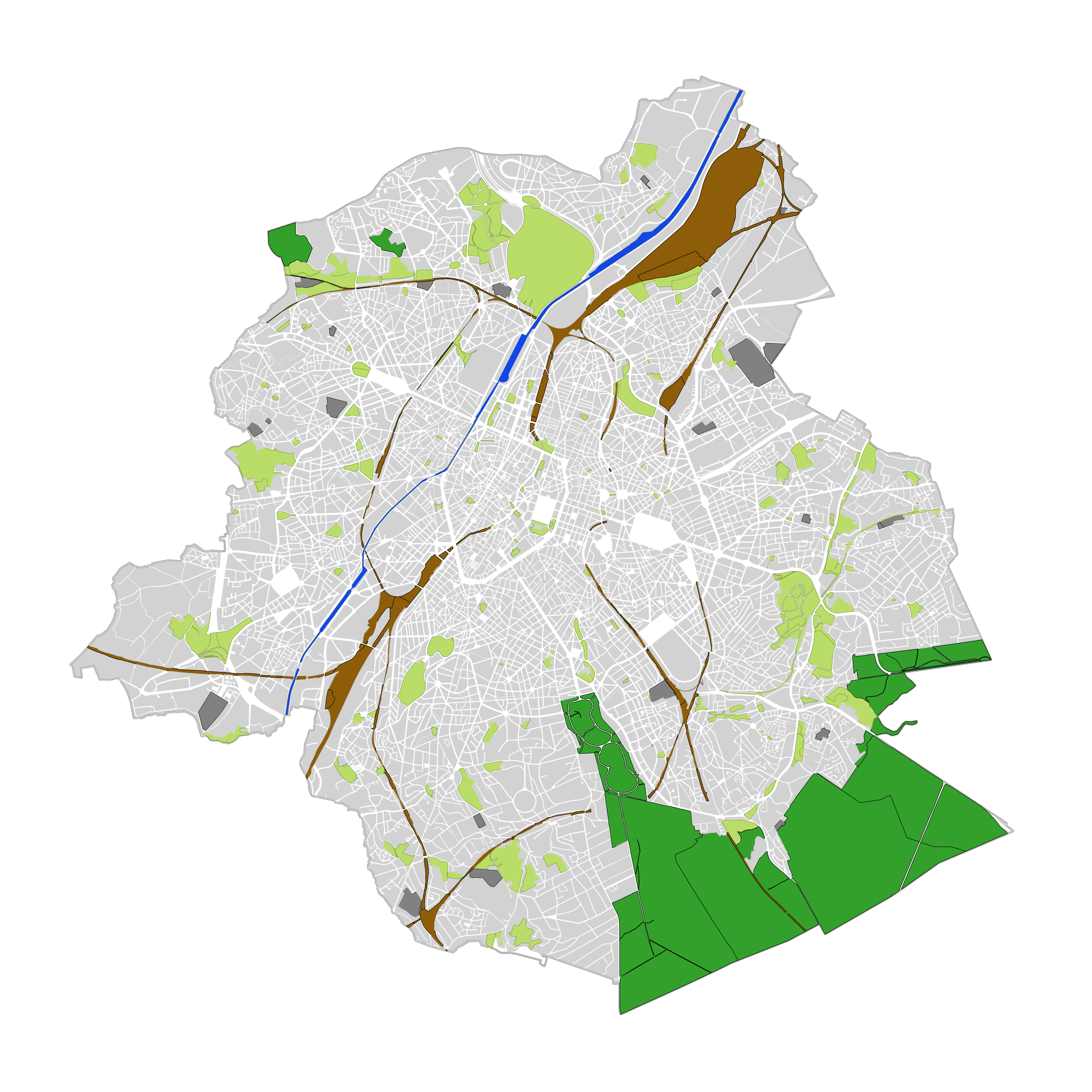
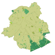
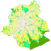
Brussels-Capital Region : land cover refers to the physical and biological cover of the earth's surface, including artificial surfaces, agricultural areas, forests, semi-natural areas, wetlands, water bodies. The entity "Green Block" (or green area) identifies the footprint of vegetated amenity areas(lawn, trees, possibly planted with flowers and ornamental trees and bushes, and often lined ponds and paths). Green areas have been designed on the basis of various plans (photogrammetric surveys, detailed maps, maps of towns, ...). They have a heterogeneous precision because of the diversity of origin. The entity "Green Block" (or green area) is represented using three different types: - GB-A: grassed (some grassy berm plants or trees) bands; - GB-B: parks (water parks located in these areas are not excluded); - GB-F: forests or wood (islets of the Soignes Forest located in the Brussels Region). The entity "Water Block" (or water area) locates and identifies various water bodies in the territory of the Brussels-Capital Region (channel, ponds, Senne river, ...). We distinguish : 1. water areas located at [0] which are visible from the air (abbreviated WB-0); 2. water areas (for the channel) located at [-] on the road (invisible from the sky) (abbreviated WB-M).
-
Web Map Service for the INSPIRE datasets of Paradigm